- 2:55 h
- 12.18 km
- 11 m
- 10 m
- 5 m
- 10 m
- 5 m
- Start: Bad Zwischenahn/Dreibergen
- Destination: Bad Zwischenahn/Dreibergen
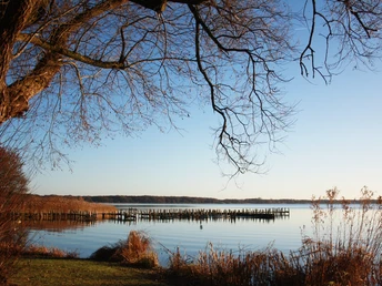
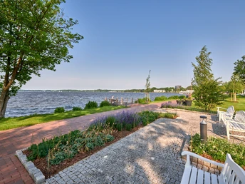
The Zwischenahner Meer is a natural attraction that can be viewed from numerous shoreline spots. It was formed about 12,000 years ago when the salt dome beneath it collapsed and the resulting hollow filled with groundwater. With a water surface area of 5.5 km² (550 ha), the Zwischenahner Meer is the third largest inland lake in Lower Saxony after the Steinhuder Meer and the Dümmer. The north-south diameter measures 2.8 kilometers, the east-west diameter about two kilometers. The average water depth is 3.3 meters, with the deepest point above a layer of mud sediment approximately between 5.5 to 6 meters. For hikers, the lake offers a varied backdrop. Numerous ranking regattas and German championships of various boat classes regularly take place here. The two passenger ships of the "White Fleet" also provide interesting photo opportunities. By boat, the hiking route can also be shortened, as on the halfway point both from Dreibergen and from Bad Zwischenahn you can return to the starting point of the hike. In culinary terms, the circular route also offers a colorful range of dining options. The spectrum ranges from the rustic taverns "Spieker" and "Fährkroog" to the excellent Michelin-starred cuisine at "Apicius".
Good to know
Best to visit
Directions
When hiking clockwise, the Zwischenahner Meer should always be on your right.
Equipment
Sturdy footwear
Additional information
With the "White Fleet" the walking distance can be halved.
License (master data)
Author´s Tip / Recommendation of the author
Gastronomy tips: Spieker, Fährkroog, Juister at the Zwischenahner Sailing Club, Strandcafé, Café zum Fischereihafen
Listening stations: Zwischenahner Meer, open-air museum Bad Zwischenahn, Elmendorf Castle
Nearby


